After months of delay, the cool La Niña climate pattern has emerged in the eastern tropical Pacific Ocean, which increases the risk of drought in parts of the Americas
By James Dinneen
9 January 2025
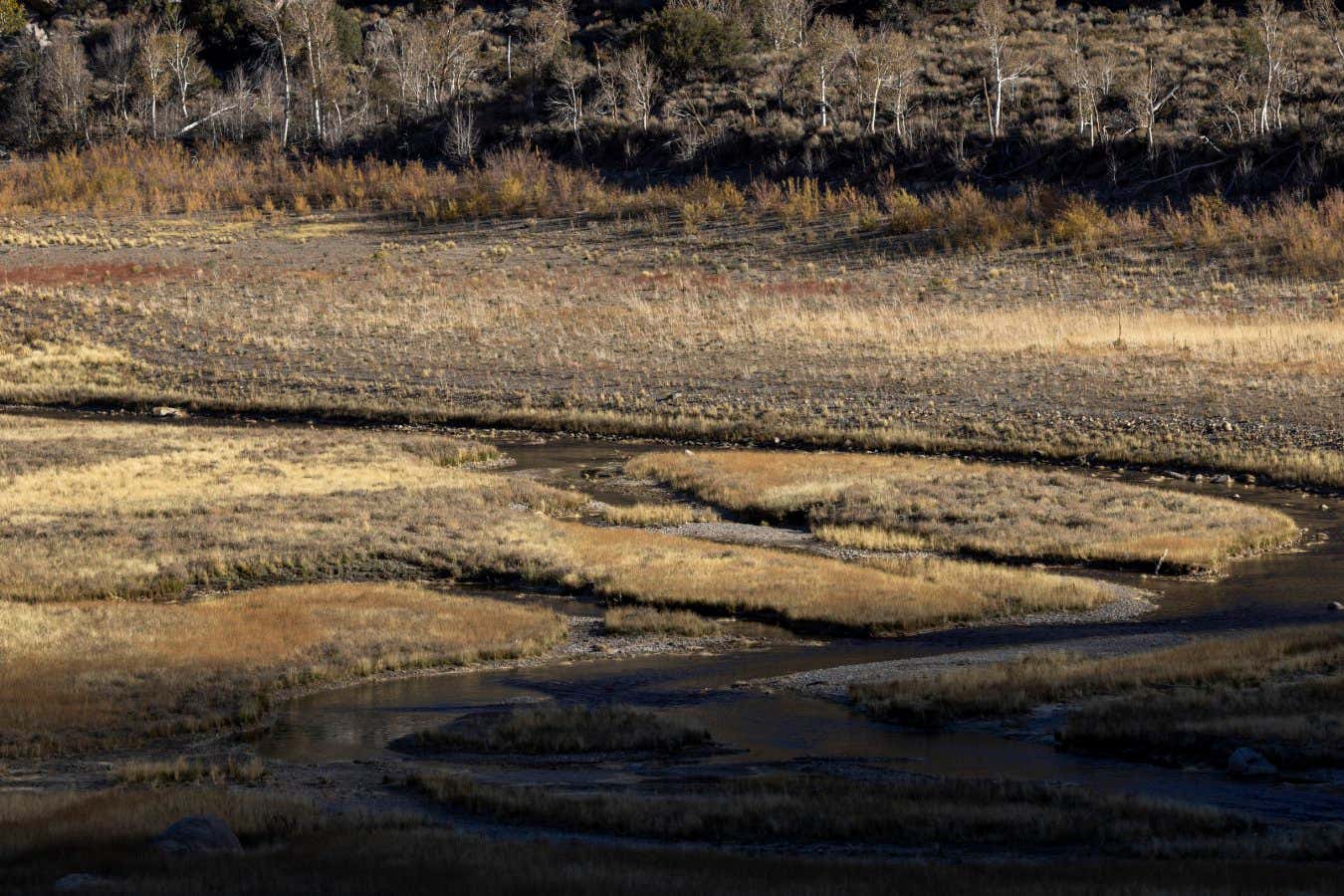
La Niña increases the risk of drought in certain regions, as occurred in California in 2022
David McNew / Getty Images
A weak La Niña climate pattern has emerged in the Pacific Ocean, months later than was initially forecast. This will raise the risk of drought and heavy rain in parts of the world, even as it lowers global average temperatures.
The eastern tropical Pacific Ocean shifts from hot to cold and back in a temperature cycle known as the El Niño Southern Oscillation (ENSO), and La Niña is the cool phase of the cycle. It normally occurs about every three to five years when trade winds strengthen, which pushes colder water upwelling off the coast of South America to the west.
Read more
Something strange is happening in the Pacific and we must find out why
Advertisement
Sea surface temperatures in that part of the Pacific have been cooler than average for months, but they didn’t fall below the threshold needed to declare a La Niña event until now, according to the US National Oceanic and Atmospheric Administration (NOAA). Wind patterns also now reflect La Niña conditions.
The agency forecasts the La Niña will continue through April 2025 before temperatures return to neutral conditions.
Even though it is a weak event, the cooler-than-average sea surface temperatures are expected to have their characteristic influence on global weather patterns, increasing the risks of drought in parts of North and South America and intense rainfall in Australia and South-East Asia.